|
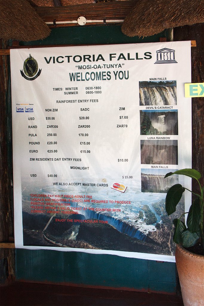 |
| Victoria Falls park entrance | |
| Latitude: S 17°55'29,74" | Longitude: E 25°50'49,63" | Altitude: 892 metres | Location: Victoria Falls | State/Province: Matabeleland North | Country: Zimbabwe | Copyright: Ron Harkink | See map | |
| Total images: 15 | Help | |
|
|
|
| Victoria Falls park entrance | |
| Latitude: S 17°55'29,74" | Longitude: E 25°50'49,63" | Altitude: 892 metres | Location: Victoria Falls | State/Province: Matabeleland North | Country: Zimbabwe | Copyright: Ron Harkink | See map | |
| Total images: 15 | Help | |